China is not an easy country to travel for someone who does not know the language.
You cannot just arrive and decide day-by-day where and what to do. Why is that?
– Very few people speak English
– All the signs are in Chinese
– Chinese people are 1.3 billion and it seems like most of them travel in August (just the time when we are there!) so all the trains and hotel are fully booked in a few days
– To travel in some regions of China, like Tibet, you need an internal Visa which involves a very complicated process to receive one!
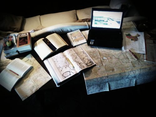
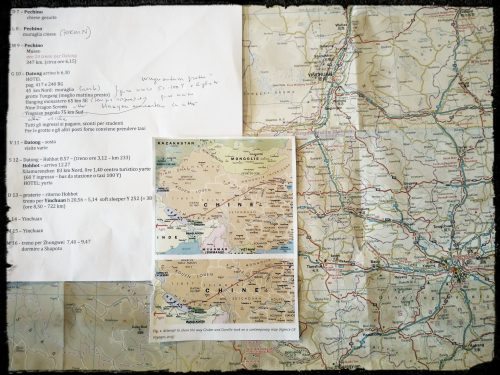
This is why, for the past weeks, Samantha and I have been working very hard on an itinerary to find the best way to follow the actual route traversed by the two Jesuits, D’Orville and Grueber, on whose travels China Illustrata is based, but still not find ourselves lost in the middle of a desert with no train to get out!

We have been reading guidebooks, looking at the big scale maps and trying to find the modern names of the places mentioned in China Illustrata in today’s maps of China, which in itself is very hard to understand when two completely different regions are called Shanxi and Shaanxi (it took me two days to realize they were two different things!!!). As another example of the linguistic and historic barriers to planning our itinerary, Beijing in Kircher’s China Illustrata is called by 6 different names in different parts of the book and none of the names are Beijing!

Our route will loyally follow that of Grueber and D’Orville’s by going from Beijing to (hopefully) Lhasa in Tibet.
However, it will also be a compromise with the practical possibilities as we are constrained by public transport routes and military areas where we are forbidden to go.
We are still in the ‘work in progress’ stage of our itinerary but hopefully we will have a definitive route before we leave!
P.S. We would be nowhere without the help of a great traveler and knowledgeable woman; my dear grandmother!

Gratitude selfie 🙂